
In December 1977 Port Authority unveiled its first dedicated busway, the 4.3-mile South Busway, which combined bus and light rail routes into an efficient and quicker connection between downtown Pittsburgh and the South Hills area.
The Martin Luther King Jr. East Busway, which used express routes to connect downtown with nearby east side communities like Swissvale, Wilkinsburg and Homewood followed in February 1983.
On Sunday, September 10, 2000 Port Authority opened its West Busway, which provides service from downtown Pittsburgh to Carnegie.
In 2003, the East Busway was expanded by a few miles to its current terminus in Swissvale and Rankin.
Martin Luther King Jr. East Busway
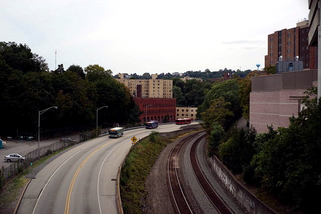
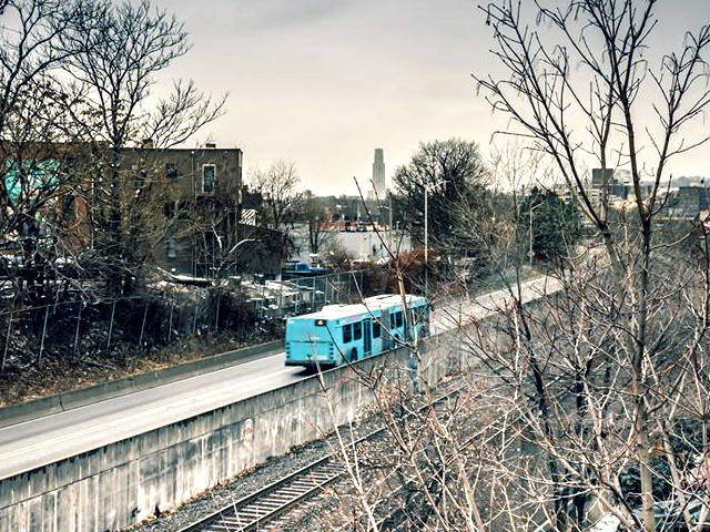
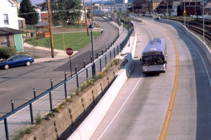
The Martin Luther King Jr. East Busway is a two-lane dedicated bus-only highway serving the city of Pittsburgh and many of its eastern neighborhoods and suburbs. The original segment of the busway opened in February 1983, running between Downtown Pittsburgh and Edgewood, a length of 6.8 miles. In 2003, the busway was extended into Swissvale by 2.3 miles, making its current length 9.1 miles. It was named after Dr. Martin Luther King Jr. in recognition of the fact that it serves many predominantly African-American neighborhoods, such as Wilkinsburg and East Liberty.
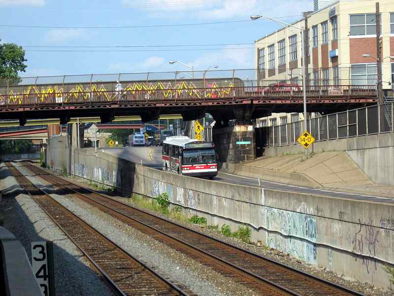
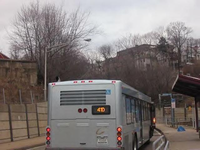
The EBA ("East Busway All Stops") is the main route, operating seven days a week and running the full length of the Busway between Swissvale and Downtown Pittsburgh, making all stops. Two additional routes run Monday through Friday: The EBO ("East Busway Oakland"), which operates between Swissvale and Oakland utilizing a connecting road to Oakland between the Herron Ave. and Negley Stations, and the EBS ("East Busway Short"), which operates only between Wilkinsburg and Downtown.
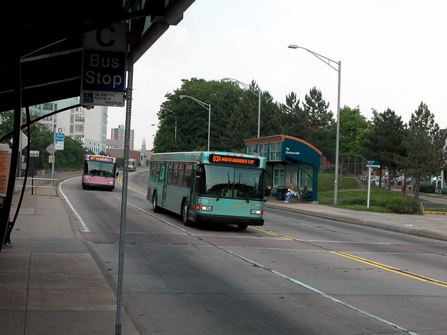
Many of the Port Authority's express and suburban Flyer routes also utilize the busway, primarily during weekday rush hours. The busway enables these routes to bypass the heavily congested Parkway East (Interstate 376), making for faster trip times.
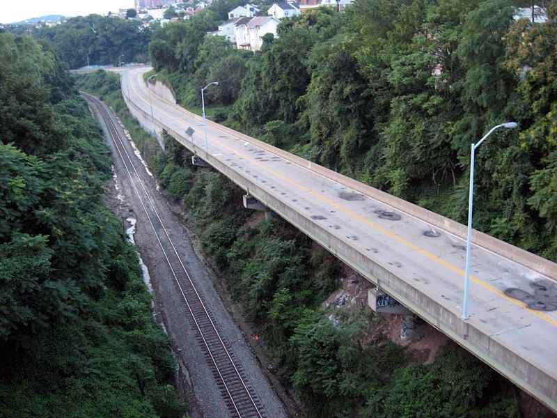
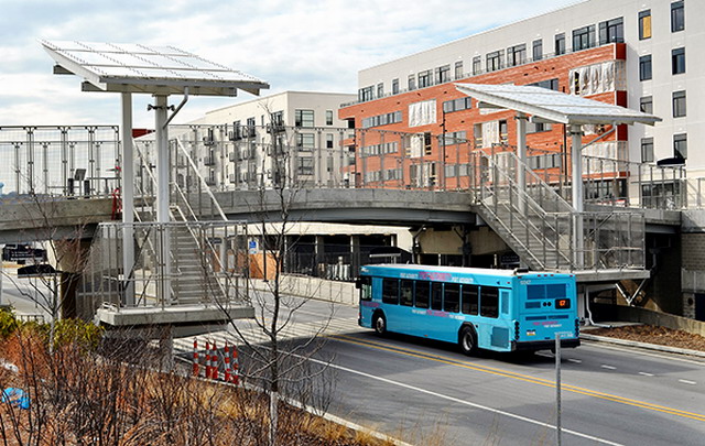
General view of the East Busway.
The East Liberty end of the busway...Check out the "artwork".
Negley stop on the East Busway.
Back when the busway was built...Looked real nice!
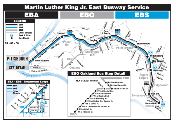
East Busway map.
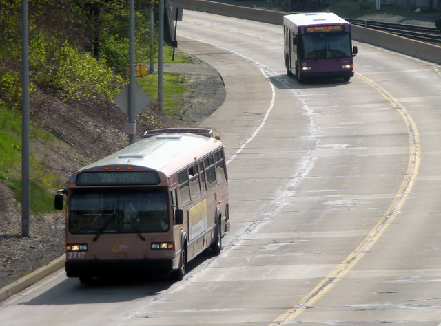
2717 and Gillig approaching Herron Ave.
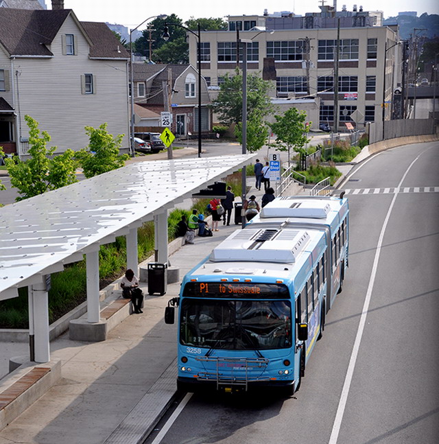
3258 at East Liberty Station.
another shot of the East Busway.
East Busway, near UPMC Shadyside.
Herron Ave. Station.
Negley Station.
New Flyer on the East Busway.
South Busway
As the oldest operating busway facility in the United States, the South Busway opened in 1977 and continues to provide frequent bus rapid transit service between Downtown Pittsburgh, Station Square and many neighborhoods south of the City of Pittsburgh. The South Busway bypasses traffic congestion on the Liberty Bridge and Tunnel by way of a joint-use bus/light rail transit tunnel (Mount Washington Transit Tunnel) and provides a viable transit option that avoids the daily traffic bottleneck on Route 51.
Just a few pictures of the South Busway.
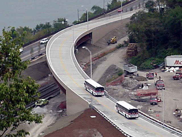
West Busway
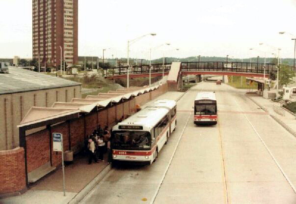
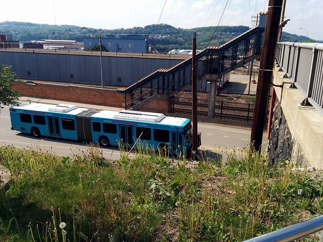
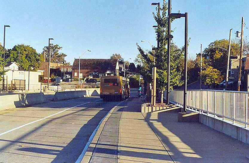
The West Busway is a two-lane bus-only highway serving the western portions of the city of Pittsburgh and several western suburbs. The busway runs for five miles from the southern shore of the Ohio River near downtown Pittsburgh to Carnegie. It is owned and maintained by the Port Authority of Allegheny County, the public transit provider for Allegheny County and the Pittsburgh region. The transit thoroughfare was opened in September 2000.
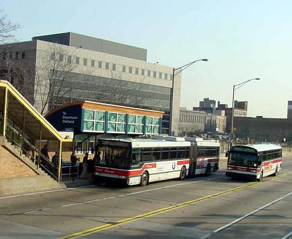
Eight Port Authority bus routes currently utilize the West Busway. The two that most commonly use the thoroughfare are the 100 West Busway-Oakland, a rush hour route which travels the length of the busway and goes to Oakland and the 33X West Busway All Stops that goes into downtown Pittsburgh.
Gillig leaving the Crafton stop on the busway.
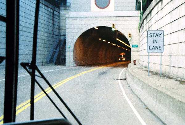
Bus preparing to enter the Berry St Tunnel on the West Busway.
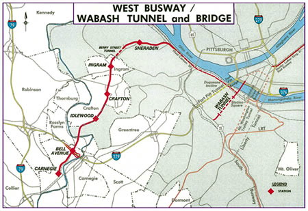
The West Busway on map form.
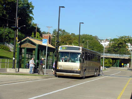
Neoplan Metroliner loading at Sheridan Station, West Busway.
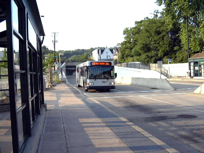
Gillig approaching Ingram Station.
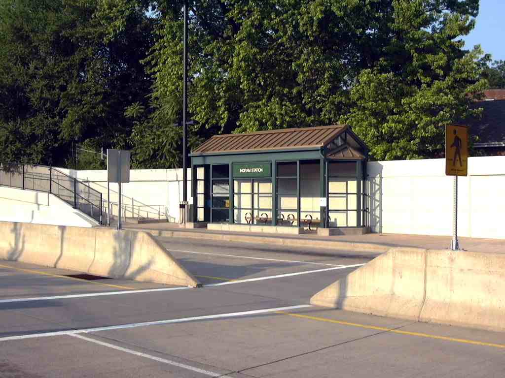
Pedestrian access to Ingram Station.
West Busway ramp to West Carson St. This is the "town" end of the Busway.
More to Come!
![]()
![]()